ABOUT US
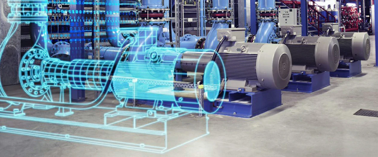
We are a professional surveying company with a primary focus on 3D laser scanning. Based in India, we operate worldwide with vast experience over a diverse range of services. As a 3D Scanning Company we offer a wide a spectrum of point cloud-related products such as 2D documentation, 3D Laser Scanning, 3D Models, Building Information Models (BIM), Plant Modeling, Offshore, Ship industries, Mining, Topography Surveying, GIS and NDT.
Our products and services are suitable for industrial sites, Oil & Gas, offshore installations and vessels, architecture, heritage, FMCG and large-scale urban regeneration projects. We have highly skilled CAD engineers which allows us to process all our data in-house. The majority of our point cloud processing is completed utilizing various software.
read moreMission
To provide error-free solutions and services with admirable quality and value that improve the design for each industry.
Vision
To enable the technology growth through digital twin and latest development, and to provide batter solutions that support each industry on the globe.
Value
We provide error free data and outstanding services that, together deliver premium value to our valuable customers.
our services
View All Services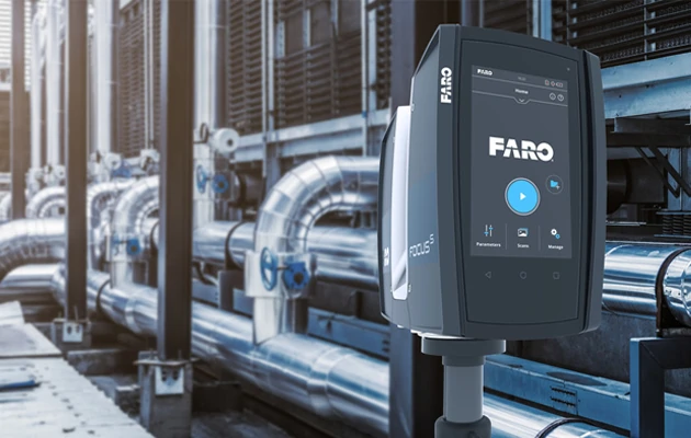
3D LASER SCANNING
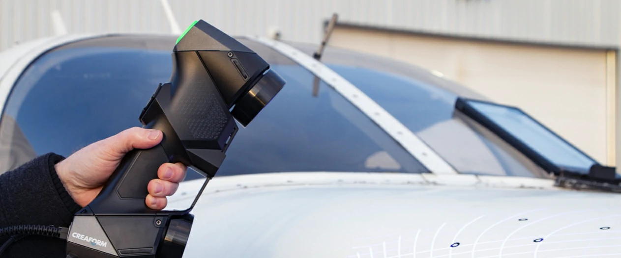
3D Pointshot uses 3D scanning in India to produce as-built surveys and clash detection analysis for a range of industrial applications like-Oil & Gas, Power stations, Steel, Ship building, Mining etc. Utilizing point cloud data as abasis, we can provide a bespoke product to suit your particular need. A number of our clients prefer to create their own products from point cloud data...
3D Pointshot provides as-built surveys and clash detection analysis for a range of industrial applications. Utilizing point cloud data as a basis, we can provide a bespoke product to suit your particular need. Clients include Oil & Gas, Power stations, Steel, Ship building, Mining, etc.
learn more3D BIM MODELLING
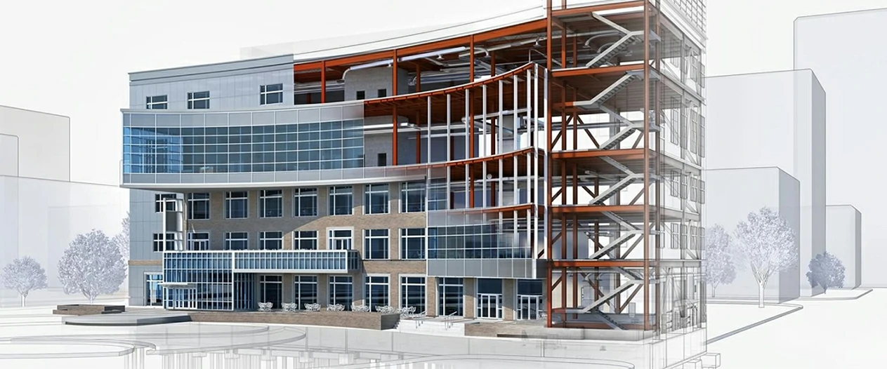
At 3D Pointshot one of the best 3D scanning company we have highly experienced experts and use latest technology for processing of point cloud data to convert it into BIM ready format. BIM models add certain information, one could call a database. Each element is defined (walls, windows, floors etc.), and the model is a parametric result combining all of those elements. 2D plans, sections and elevations can be generated automatically from any defined position or direction.
learn more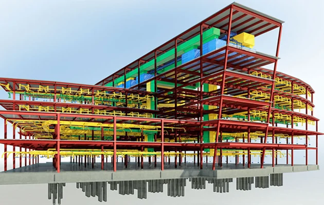

GIS MAPPING
A Geographic information system (GIS) is a computer system for capturing, storing, checking, and displaying data related to positions on Earth’s surface. GIS can show many different kinds of data on one map, such as streets, buildings, and vegetation. This enables people to more easily see, analyze, and understand patterns and relationships...
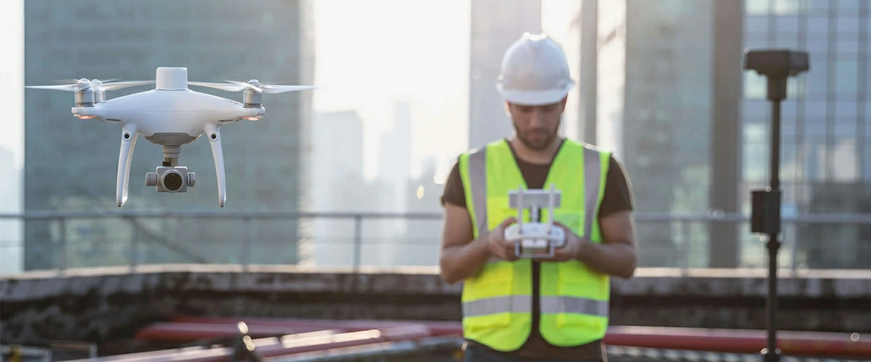
GIS Mapping is a type of highly detailed mapping that can be used for a variety of purposes, including urban planning, disaster relief, environmental protection, and geologic mapping. GIS mapping allows you to modify maps to match your specific requirements. You can alter map projections, add points, lines, and polygons, and edit attribute data with the press of a button.
learn moreLatest Projects
View All Projects


Clients Love Our Work

Aatiq Hussain
CEO, B ConstructionAll architectural services are handled by qualified CAD specialists by a very friendly crew. Best 3D BIM Modeling service in Gujarat. It comes highly recommended. Must give it a shot.

Parth Panchal
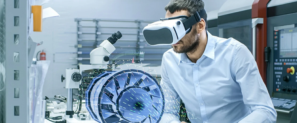
MD, Softtonic Inc.They presented new concepts that were outside of our scope. Best Virtual Reality service provider in Ahmedabad. Their members approach assured that my project was in good hands.

