
Mobile Mapping
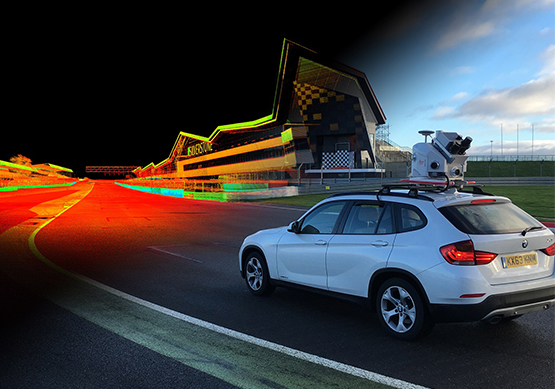
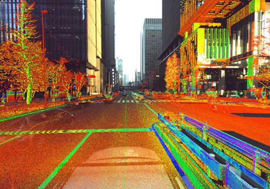
3D Pointshot provides the collecting geospatial data from a mobile vehicle. With a good range of GNSS, photographic, radar, laser, LiDAR or any number of remote sensing systems. This includes GIS data, video, Georeferenced images and digital maps.
We are serving our Mobile mapping services for major road and rail projects. For mapping the urban environments, understanding underground and underwater structure, and to improve safety in power infrastructure and plants around the globe.
