Urban Planning
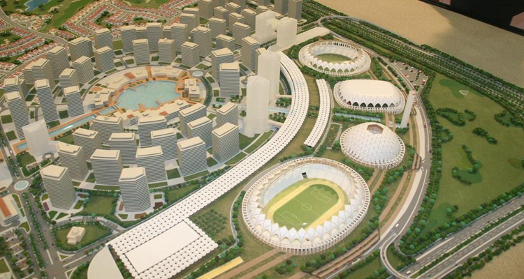
Accurate, high-resolution 3D city models are increasingly in demand for defense and security applications as well as civilian needs for urban planning and conservation. The increasing demands in urban planning and management sectors call for co-ordinate application of Remote Sensing and Geographic Information System (GIS) for sustainable development of Urban areas. Information for urban planning must integrate all possible strategic information coming from different sources. In other words, the information must be accurate and updated and it should represent a high-fidelity 3D model of the city.
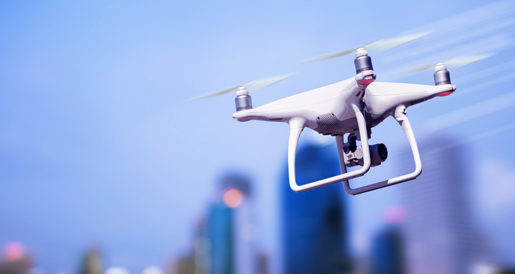
3D Pointshot works for many Client for a work related Building development, Roads and Rail across a range of countries. 3D Laser scanning can be utilized to capture significant urban areas in a timely and efficient manner. For the majority of applications, terrestrial scanning is the best methodology. For larger or inaccessible area such as major road or brownfield sites Mobile mapping or Arial scanning(UAV) can be organized.


