
Drone Surveying and Mapping Services
3D Pointshot provides professional mapping and surveying services using drones for construction sites, infrastructure projects, agriculture, mining, etc. Our drone surveying service allows you to utilize advanced drone technology in conjunction with our qualified drone members which provides high accuracy data, quicker project completion, and savings.
Why Choose Our Drone Survey Service?
- Precision: Get sub-centimeter accuracy with our state-of-the-art RTK/PPK drone technology.
- Speed: Large areas can be executed at record speeds with aerial data capture.
- Comprehensive Outputs: Orthomosaics, DSM/DTM’s, contour maps, and 3D point clouds.
- Live Monitoring Track performance and changes in real time
- Safe & Non-Intrusive: Influential allows for accessing hostile destinations where humans risk injury.
Our drone site surveys set a superiority level of site insight for many traditional site surveys, from pre-construction planning to real-time site tracking.
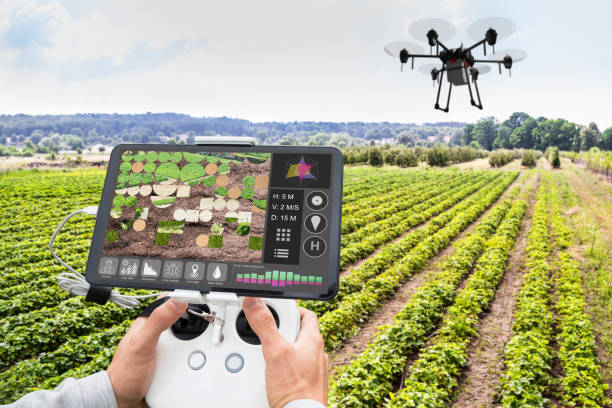
Applications of Drone Surveying and Mapping
- Land Mapping and Contour Generation
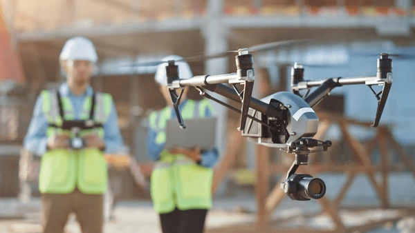
- Construction Progress Monitoring
- Topographic Surveys
- Road and Highway Mapping
- Mining Volume Calculation
- Agricultural Field Mapping
- Power Line and Solar Farm Inspection
Whether you need detailed orthophotos or volumetric analysis, our drone survey service has you covered.
Industries We Serve
- Construction & Infrastructure
- Urban Planning
- Oil & GasManufacturing and industry
- Telecommunication
- Agriculture
- Mining & Quarrying
- Real Estate Development
The Best Drones for Surveying and Mapping
We use only the best drones for surveying and mapping, including RTK-enabled UAVs with multi-sensor payloads for unmatched accuracy and efficiency. Our fleet includes top industry-standard models like DJI Matrice, Phantom 4 RTK, and fixed-wing drones for large-scale area coverage.
Output Deliverables
- High-resolution Orthomosaics
- Digital Surface Models (DSM)
- Digital Terrain Models (DTM)
- 3D Point Clouds
- Contour Maps
- CAD Files (DWG/DXF)
- Volumetric Reports (Cut & Fill Analysis)
Drone Survey in Ahmedabad & Across India
Looking for a reliable drone survey partner in Ahmedabad or pan-India? 3D Pointshot delivers quick and precise drone site tailored to your project’s scope and location. Our UAV experts are ready to deploy wherever you need us.
Frequently Asked Questions (FAQs)
Drone surveys utilize UAVs (drones) to be able to collect aerial data for mapping, modeling, and measurement. Drone surveys are much faster, safer, and more precise than traditional survey methods.
The use of drones for surveying provides a precision of 2-5 cm, depending on equipment and terrain, using RTK/PPK GPS enabled drones in conjunction with the use of Ground Control Points (GCPs), both will further boundary or limit survey errors.
Clients receive orthomosaic maps, contour maps, 3D models, point clouds, CAD files useable for design, engineering and documentation.
Survey time varies by area size and complexity. However, drone surveys are 5–10x faster than traditional surveys, often completed within 1–2 days.
The best drone to use will depend on the scope of the project. At 3D Pointshot we use high-end drones including DJI Phantom 4 RTK, DJI Matrice and eBee X, which we trust to product reliable and accurate maps.
