THE NEW STANDARD IN SURVEY GRADE, AUTONOMOUS, LIDAR MAPPING
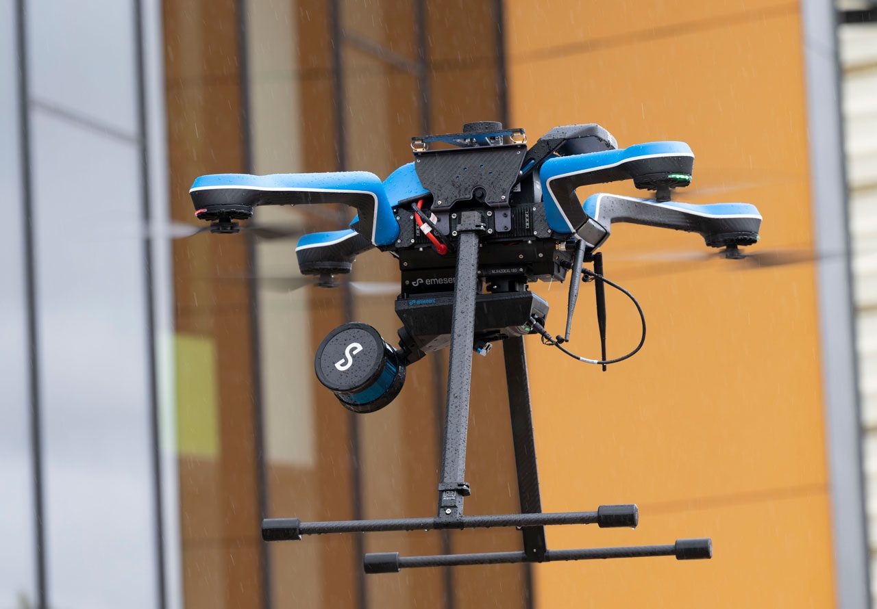
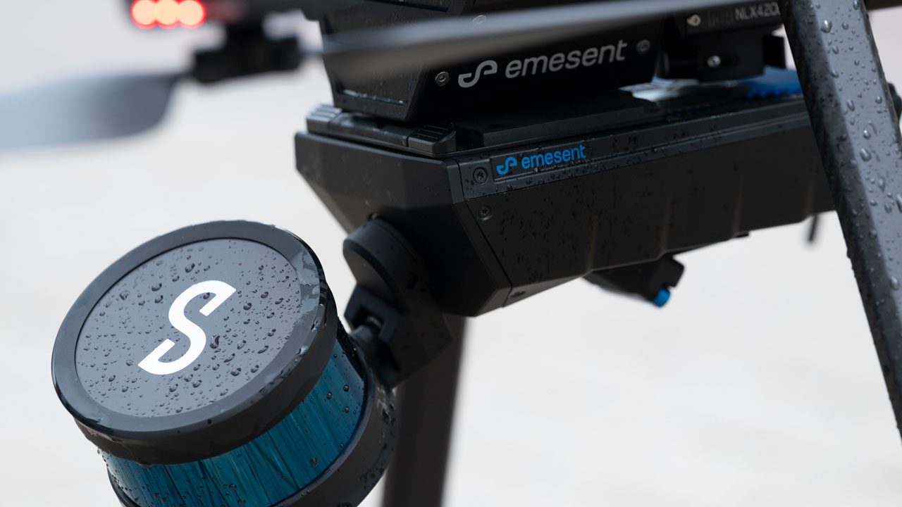
Hovermap ST’s tough, lightweight, IP65 weather-sealed design enables the capture of valuable data in previously inaccessible areas.
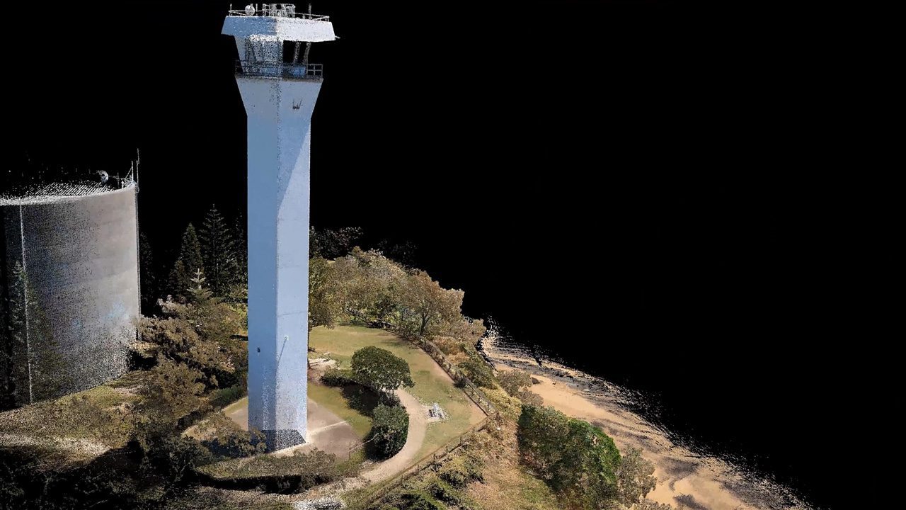
This powerful combination of precision engineering, world-leading SLAM algorithms, and robust drone autonomy capability provides accurate LiDAR mapping for as-builts, surveys, or inspections.
Equally capable above ground or underground, indoors or out, Hovermap ST can easily be switched from a handheld scanner or mounted to a drone, vehicle, backpack, or pole – providing the versatility needed to capture data anywhere.
THE NEXT GENERATION IN AUTONOMOUS
3D DATA CAPTURE
COMPACT DESIGN
The compact, lightweight design makes it easy to carry for walking scans and provides a longer flight time when used on a drone
WEATHER SEALED
The tough, IP65, weather sealed design allows the mapping of harsh environments without concern for dust, rain, extreme temperatures, or humidity.
EXPLORE BEYOND LINE OF SIGH
The Tap-to-Fly autonomy feature enables mapping in previously inaccessible areas beyond line of sight and communication range. The omnidirectional Collision Avoidance, Guided Exploration, and smart Return-to-Home functions ensure Hovermap ST keeps a safe distance from assets and returns home safely with the valuable data it has collEXPLORE BEYOND LINE OF SIGHT
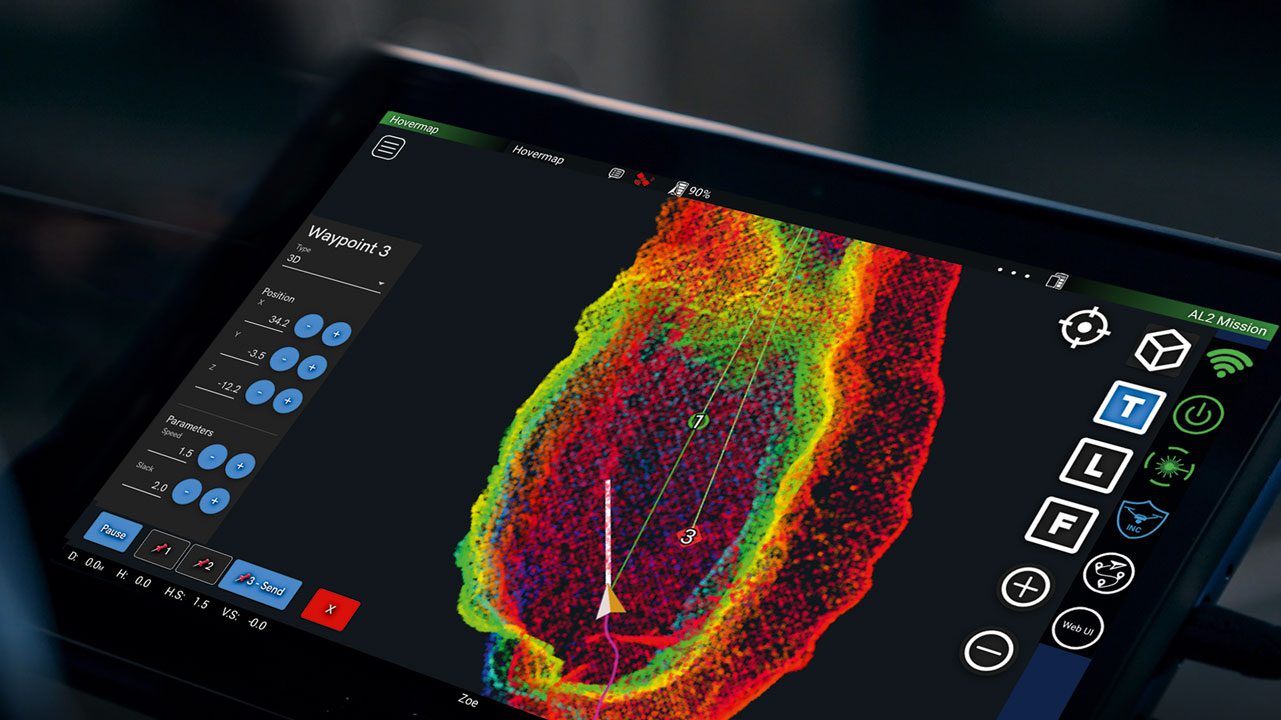
SURVEY GRADE CONTROL
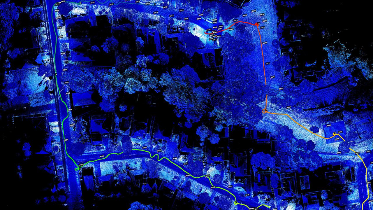
With precision engineering, world-class SLAM (Simultaneous Localization and Mapping), and Emesent’s Automated Ground Control feature, you can capture dense, shadowless survey grade point clouds.