3D Pointshot India Private Limited is providing the services in various sectors. Our aim to provide the error free solution to our customers.
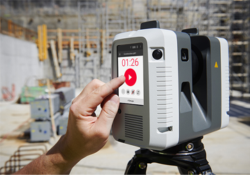
3D Laser Scanning
3D Pointshot is produce as-built surveys and clash detection analysis for a range of industrial applications...
Read More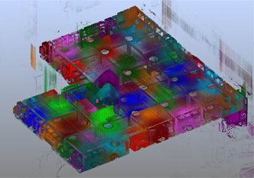
Lidar Data Processing
We are providing point cloud data processing services. A number of our clients prefer to create their own products...
Read More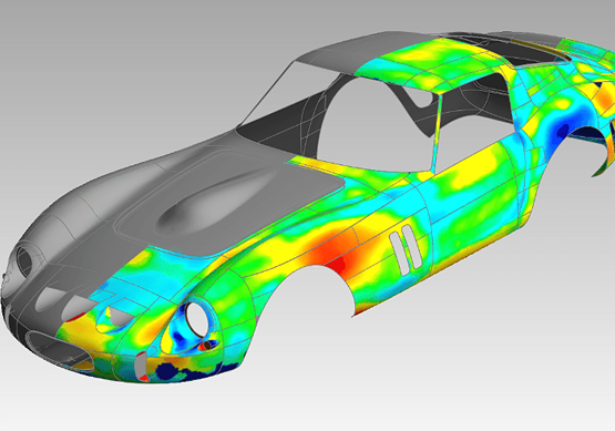
3D Cad Modelling
We provides various range of 3D Cad Modelling in different formats and levels of detail to suit your requirements...
Read More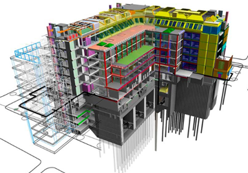
3D BIM Modeling
At 3D Pointshot We are highly experienced for processing of point cloud data to convert it into BIM ready format...
Read More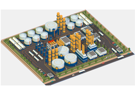
Plant Modeling
We have expertise in As-built 3D engineering services using specialized 3D laser scanning survey & modeling for...
Read More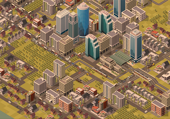
Smart City Modeling
A smart city is an urban area that uses different types of electronic methods and sensors to collect data. Insights...
Read More
3D Mesh Model
A 3D mesh is the structural build of a 3D model consisting of polygons. 3D meshes use reference points in X, Y and Z...
Read More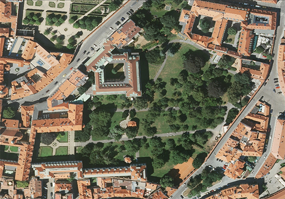
Orthophotos
An orthophoto is an aerial photograph that has been geometrically corrected or 'ortho-rectified' such that the scale.
Read More
Stockpile Volume Calculation
3D Pointshot can perform a clash detection analysis, comparing either design model to cloud, or cloud to cloud.In...
Read More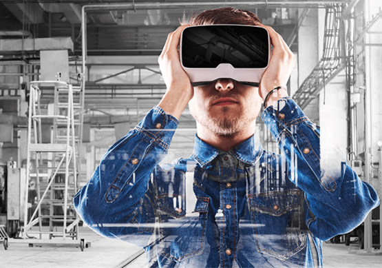
3D Virtual Reality
3D Pointshot provides the Augmented reality (AR) and virtual reality (VR) services to experience the objects, Building...
Read More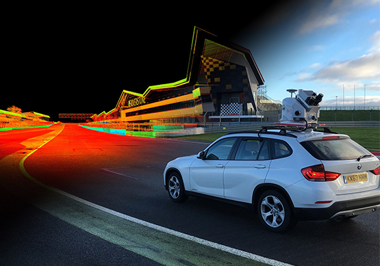
Mobile Mapping
3D Pointshot provides the collecting geospatial data from a mobile vehicle. With a good range of a range of GNSS...
Read More
Geographic Information System
A Geographic information system (GIS) is a computer system for capturing, storing, checking, and displaying data...
Read More_1.jpg)
Ground Penetrating Radar (GPR)
3D Pointshot provides comprehensive professional high-end Geo-Exploratory services using advanced Ground penetrating
Read More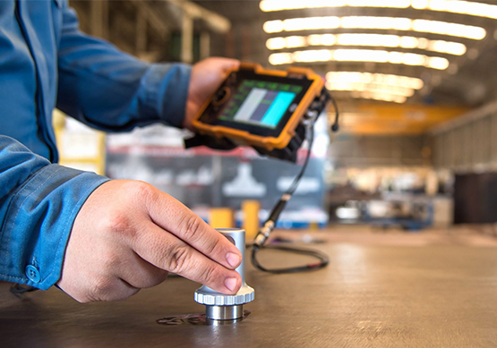
Non- Destructive Testing (NDT)
3D Pointshot provides the services for Non- destructive testing (NDT) for many applications and different material...
Read More
Project Based Training
3D Pointshot provides the services for Non- destructive testing (NDT) for many applications and different material...
Read More