
Smart City Modeling
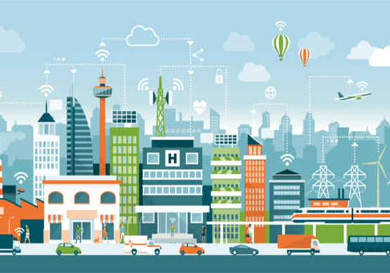
A smart city is an urban area that uses different types of electronic methods and sensors to collect data. Insights gained from that data are used to manage assets, resources and services efficiently; in return, that data is used to improve the operations across the city.
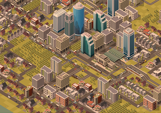
3D Pointshot provides digital and physical 3D city models, especially for your application based on your required area and level of detail of the model.3D city models are used in a wide range of areas. In the navigation, they help to improve the recognition of the current position. In the map, they are indispensable in order to present the future appearance, for example, calculating gaps.
