- 01 Jan 1970
POPULAR POSTS


Why Orthophotos Are Your Next Big Thing
21 Aug 2025


What’s a Digital Twin, and Why Should You Care?
30 Jul 2025

How GIS Mapping Can Make Your City Planning Easy
07 Jun 2025

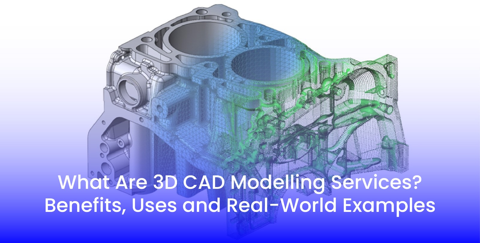
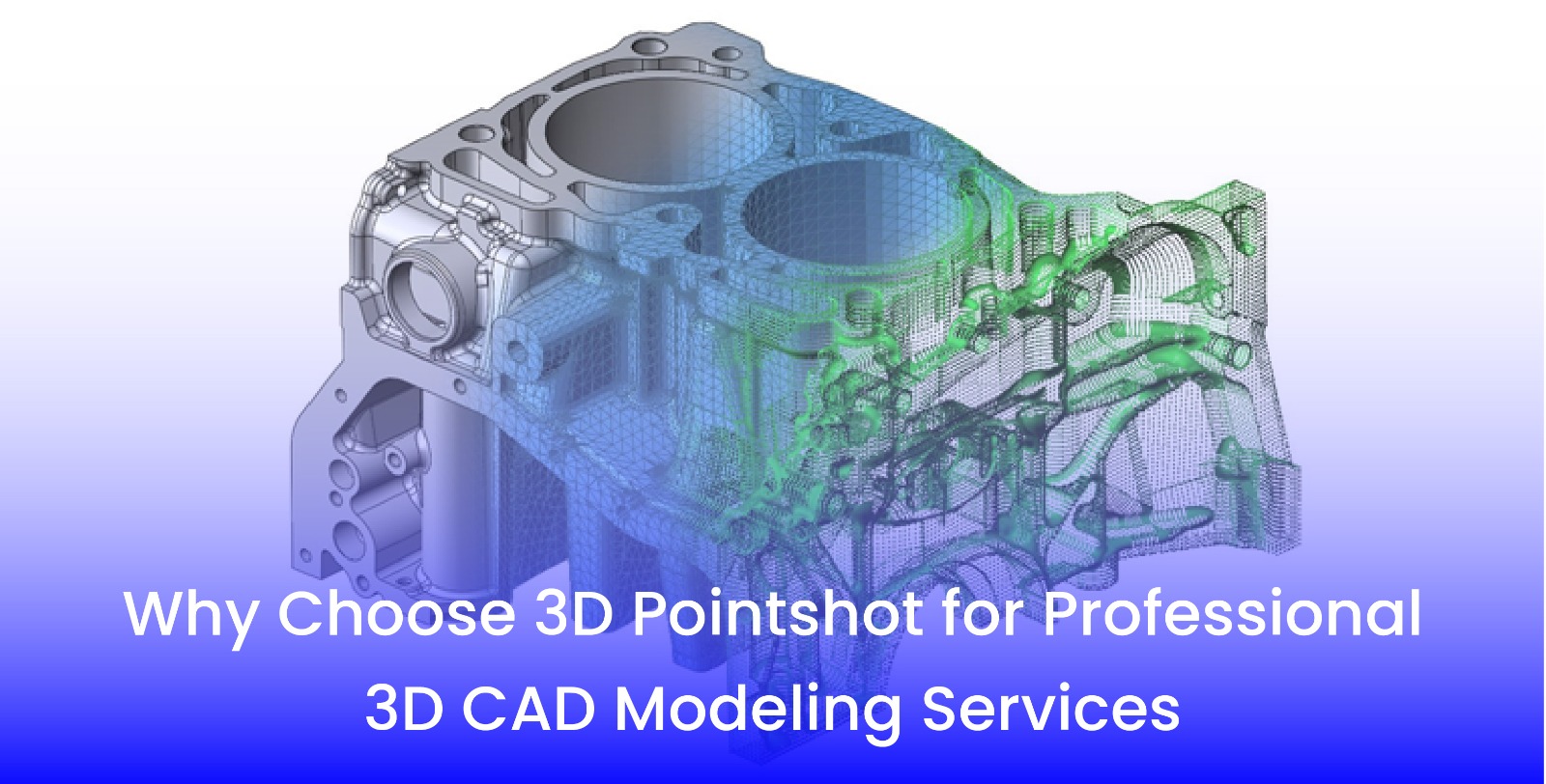
Can 3D BIM Modeling Help My Small Business?
15 Apr 2025


Understanding UAV mapping and its benefits
07 Jun 2024


Important Expect: Why 3D Modeling is Important
11 Aug 2023

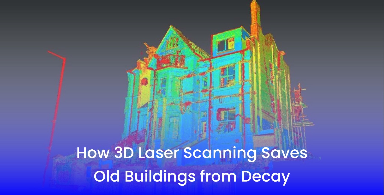
7 Key benefit of 3D Laser Scanning
14 Jun 2023
Advantages of 3D Laser Scanning Services
04 May 2023
What is GIS Mapping?
21 Apr 2023


How 3d Laser Scanning Benefits Marine Industry?
19 Dec 2022


What is 3D BIM Modelling
16 Jul 2022

How 3D Laser Scanning is helping Marine Industry
16 Mar 2022


3D Scanning Services in India
16 Dec 2021
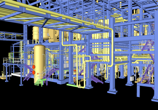
3D Plant Design Services
06 Oct 2021