How GIS Mapping Can Make Your City Planning Easy
- 07 Jun 2025
In the rapidly evolving urban environment of today, successful city planning requires not only the most comprehensive maps and spreadsheets possible; it requires policy actions based on smart, actionable insights. This is precisely where we come in at GIS mapping services, in using GIS, or Geographic Information System, to enhance the manner in which urban planners, architects, and governments develop and manage smart, sustainable cities.
Our comprehensive GIS solutions at 3D Pointshot, create innovative alternatives, allowing the planning process to become simpler, minimizing risk, and developing sustainable prepared cities.
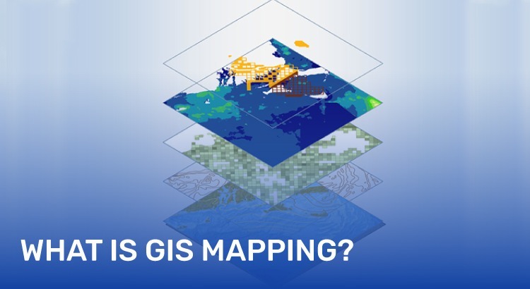
What is a Geographic Information System?
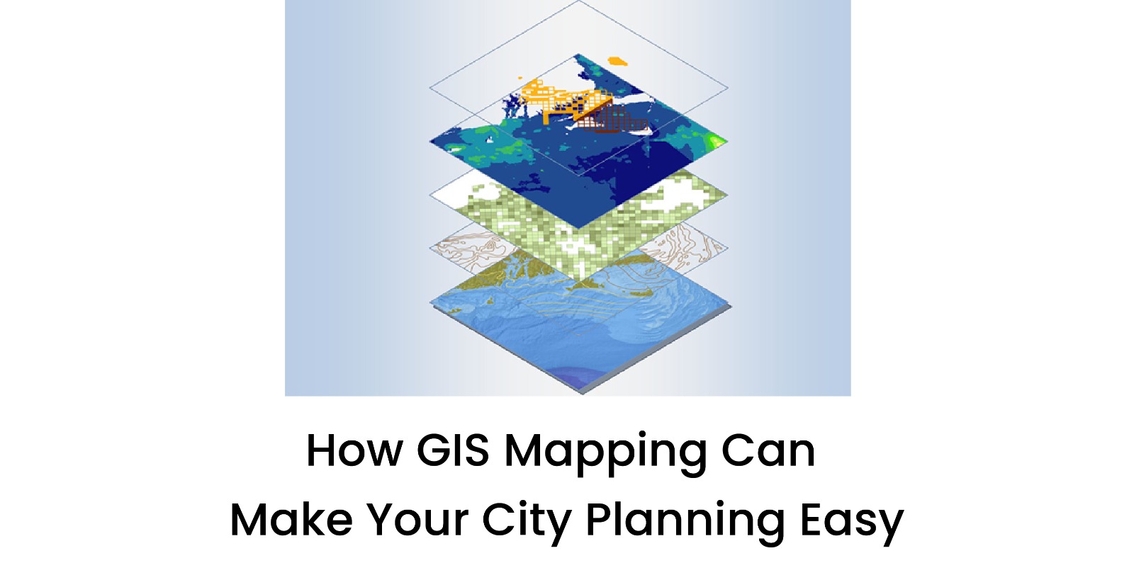
A Geographic Information System is a data-based technology system for collecting, storing, analyzing, and visualizing spatial and geographical data. If we were to define a GIS system simply, it connects maps with actual real-world observations - allowing city planners (and anyone else for that matter) to understand where, why, and how things play out geographically.
GIS is a system that creates interactive maps incorporating an infinite number of data-based layers, including roads, buildings, land use, population, natural features, and beyond. So, if you're an urban planner, you can make decision-based conclusions from having access to reliable spatial data.
Benefits of GIS Mapping Services in Urban Planning
1. Evidence-based Decisions
GIS maps the data so city planners can examine complicated data sets on maps to find patterns and develop evidence-based decisions. Whether picking the site for the next school or redesigning commute routes, GIS allows the planning process to be more accurate.
2. Efficiency and Cost-savings
GIS mapping finds planning problems to correct before they become expensive change orders or construction delays. By analyzing terrain, population density, and infrastructure needs before preparing a plan, planners can save time and money with an optimized plan.
3. Environmental and Risk Planning
GIS assists planners with flood zones, pollution levels, ecological risks, and much more. This allows for better environmental planning while becoming more resilient against natural disasters
4. Enhanced Public Participation
GIS interactive maps and dashboards can be published in the public domain. This way, the urban planner has multiple channels to communicate their plans with vision and collect community feedback. By employing transparent communication tools, community trust grows, and people support their developer's initiative.
How GIS Mapping Services Work
> Data Collection – Information is gathered using GPS, satellite imagery, field surveys, and sensors.
> Data Integration – The collected data is combined and layered into the GIS platform.
> Analysis – The system performs spatial analysis to identify trends, correlations, or risks.
> Visualization – Maps, 3D models, and dashboards are created for easy understanding and decision-making.
At 3D Pointshot, our GIS experts use advanced tools to deliver accurate, actionable insights for every phase of your planning process.
Reasons to Choose Us as Your GIS Service Provider
When it comes to reliable and scalable GIS mapping services, experience matters. As a leading GIS service provider, 3D Pointshot offers custom solutions tailored to municipal needs, infrastructure planning, and environmental monitoring. Our goal is to equip you with the tools and data to design smart, sustainable, and resilient cities.
Conclusion
City planning doesn't have to be complicated. With powerful Geographic Information System technology and expert support from 3D Pointshot, your city can plan better, grow smarter, and stay ahead of challenges.
Ready to make city planning easier? Contact us, your trusted GIS service provider today.