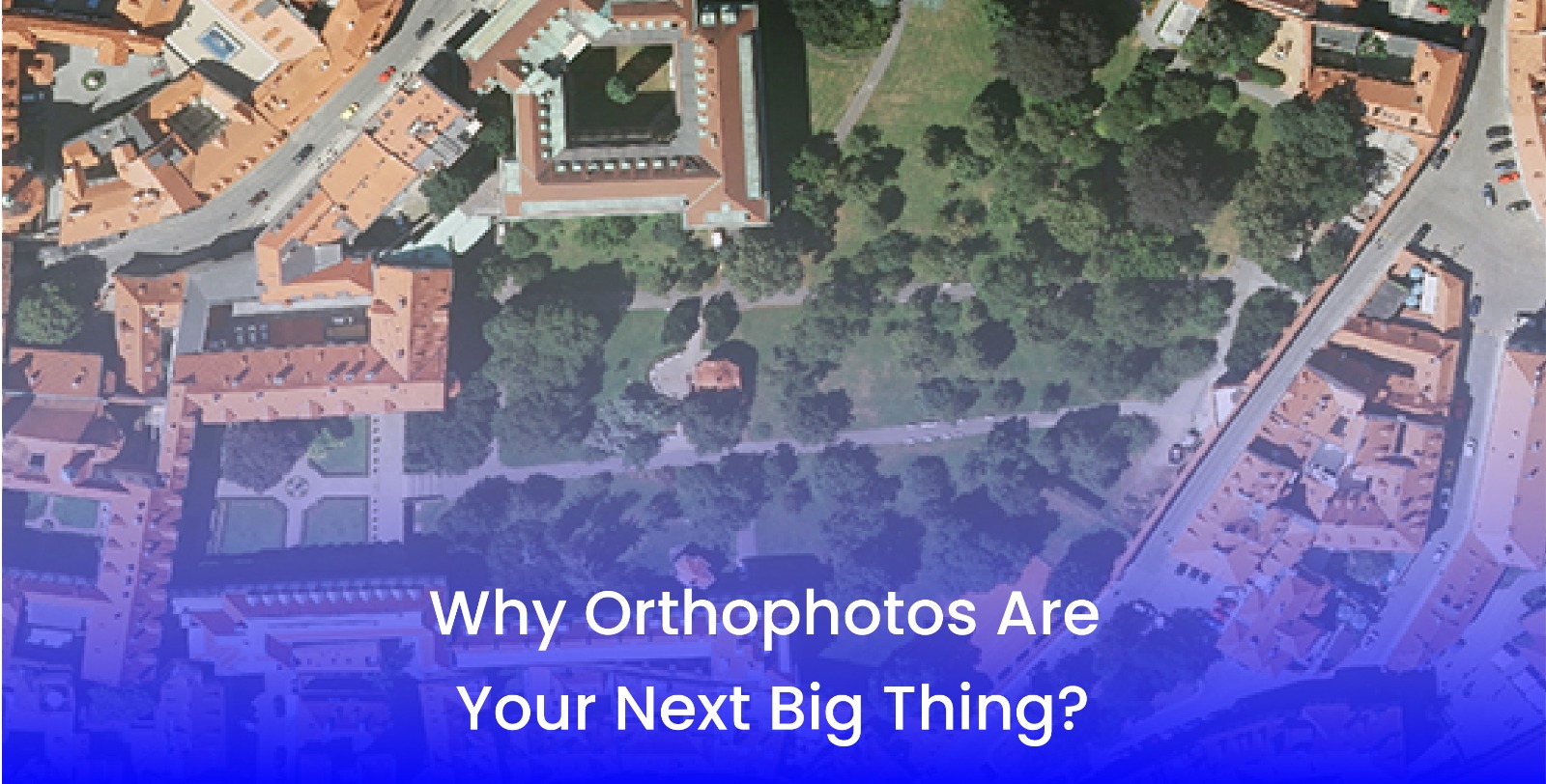
Why Orthophotos Are Your Next Big Thing
- 21 Aug 2025
3D Pointshot provides precision to geospatial information in a world where accuracy matters in every industry—urban planning, agriculture, construction, or land surveying. The availability of usable aerial images allows stakeholders to manage their risks and work efficiently. Users make aerial photographs. But orthophotos are beginning to open the next chapter of aerial imagery use. Orthophotos are not simply pictures taken from the air. Orthophotos are geometrically corrected images that provide the basis for true-to-scale maps for measuring, analysis, and planning.
Let's take a look at the reasons orthophotos are the next big thing, their advantages, and the way industries and governments around the world are using them.
What Are Orthophotos?
Orthophotos, or Ortho-rectified Aerial Images, are aerial images that have been digitally corrected for tilt, topography, and perspective distortions. The process of correction has created an image that is scaled consistently and can be used like a map.
Orthophotos merge the beauty of a photograph with the measured scale of a map. Orthophotos are different from normal photography, as the user can measure distances, calculate areas, and accurately and easily analyze space.
Advantages of Orthophoto Services
1. Holy Cow, Precise Measurements
The problem with traditional aerial photography (especially vertical photography) is that it does not provide a geometrically corrected option. Geometrically corrected aerial photographs allow planners and engineers the opportunity to make accurate measurements without distortion producing inaccurate results. Accurate measurements are very important when they are part of a development in urban areas, road corridors, or any other type of infrastructure project.
2. It's a Cost & Time effective
Land surveys can be expensive and time-consuming. Traditional land surveys may be costly and time-consuming, but as long as Orthophoto Services can provide new boundaries in an area, they can save you time and money. In Ontario, your average land survey costs $2500, but traditional land surveys can lead to significant project delays. Orthophoto Services can give you a lot of coverage for the amount of work you need to do. Don't forget, the burden of a traditional land survey is labor intensive; that is why it is more expensive and takes more effort compared with an orthophoto survey.
3. High-Resolution Mapping
Orthophoto mapping captures details in high resolution. In addition, orthophotos are fully detailed in high resolution; thus, they will depict a good representation of terrain, land use, and infrastructure features, allowing research and decisions in key industry areas.
4. Multi-use Applications
With the variety of uses, such as agriculture, forestry, mining, disaster management, etc., orthophotos are useful for many applications, and the numerous applications are what makes orthophotos one of the most useful tools in geospatial data analysis today
How Orthophotos Are Created
The derived orthophoto is captured through several technically sophisticated and labor-intensive processes:
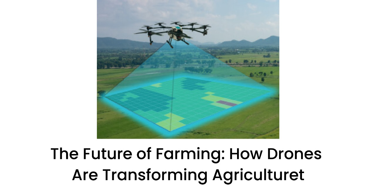
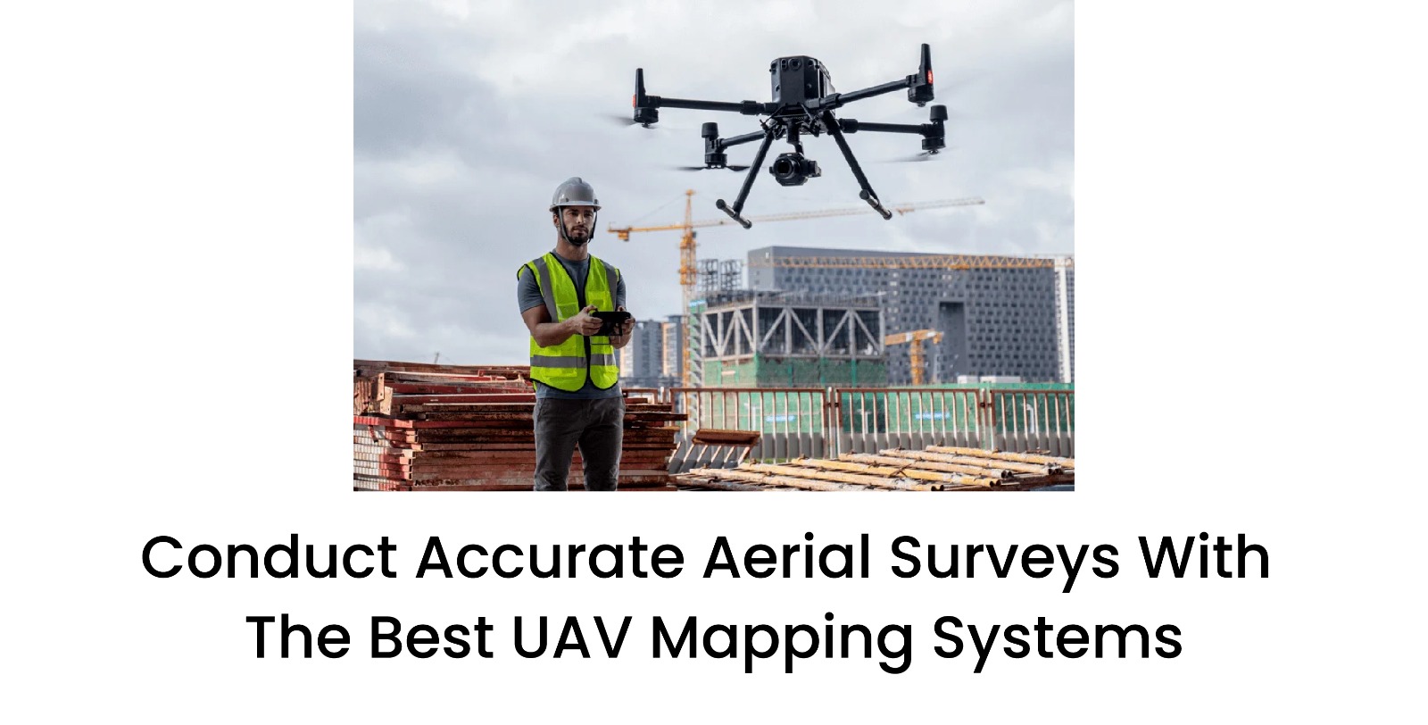
> Image Acquisition
Aerial and/or drone-based cameras capture multiple overlapping images of the area.
> Geometric correction
Specialized software corrects distortions caused by elevation change, tilt, and lens distortion.
> Ortho-rectification
The individual distorted images are corrected to a uniform scale to create an Ortho-rectified Aerial Images.
> Stitching and Mosaicking
The individually corrected images are then stitched together into a seamless, accurate map.
This transformation provides you with imaging in which every point on the image corresponds to where it actually is in the ground.
Why Choose Professional Orthophoto Services?
I know drones and aerial imagery have become more affordable; that does not mean that producing orthophotos reliably is an easy task. Orthophoto production requires professional-level expertise and piloting processing tools and training. Here is what happens when you collaborate with professionals:
> You get high-resolution Orthophoto Mapping that meets industry standards.
> There will be no processing errors caused by a poor processing method.
> You will save time and money by completing the project more efficiently in multiple phases.
> You will receive actionable insights for each planning, construction, and monitoring phase across industries.
Professional companies like 3D Pointshot will ensure each orthophoto project is produced correctly, accurately, on time, and at a reasonable cost.
Frequently Asked Questions
Q1. What makes orthophotos different from regular aerial photos?
A: Orthophotos are not just regular photos like other kinds of images, as they are geometrically corrected images. They are true-to-scale, so they are all map images and are useful for measurements.
Q2. Will orthophotos put traditional land surveyors out of business?
A: No, while they will not replace all ground surveys, they will reduce the need for extensive hand surveying.
Q3. What industries will take the most advantage of orthophoto services?
A: Orthophoto mapping will be a huge value to urban planners, construction companies, agriculture, mining, forestry, and first responders for disaster management.
Q4. What is the accuracy of orthophotos?
A: with good processing, orthophotos can provide accuracies to the centimeter and vary depending on the airborne technology used.
Q5. Are orthophotos expensive?
A: they are very inexpensive compared to conventional surveying, especially with larger, regional scales for clients!
Conclusion
As industries shift to smart data-driven decision-making, Orthophotos are now invaluable. With orthophotos being true-scale, geometrically corrected aerial photographs, they fill the gap between conventional maps and aerial photographs. Whether it is orthophotos for urban planning or imagery with precision terrain analysis for construction, orthophoto services provide integrity and efficiency.
When provided by professionals like 3D Pointshot, orthophotos are an image and tool that are helping us make better decisions for smarter developments in our industries.