Understanding UAV mapping and its benefits
- 07 Jun 2024
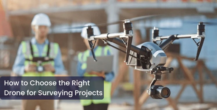
With changes in the ways we use technology, everything else has changed. Drones which are also known as unmanned aerial vehicles have evolved from radio-controlled devices. They are widely accessible tools used by individuals, governments and organizations to monitor and research different locations, areas and happenings. They are also used for recreation purposes.
What Is UAV Mapping?
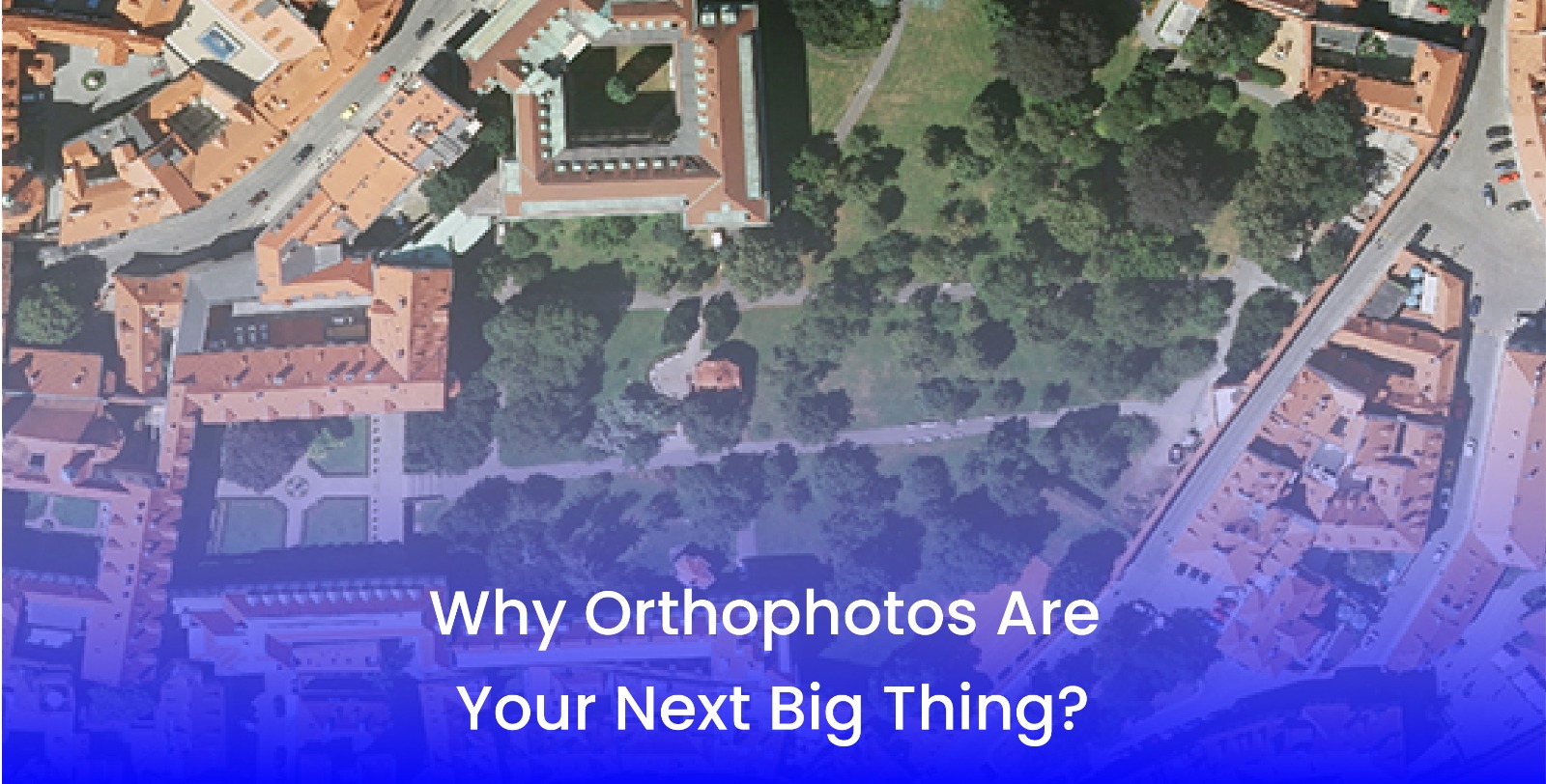
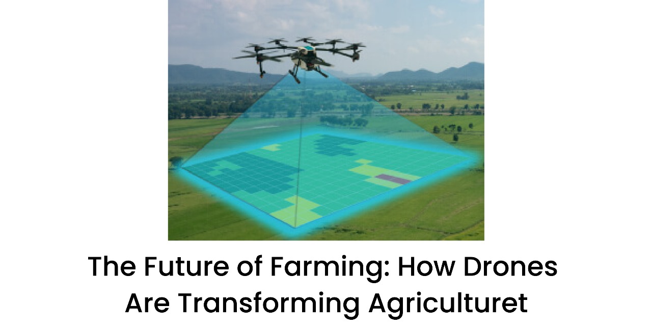
UAV mapping is a technique to use drones with cameras and photogrammetry software. It helps in providing accurate geospatial intelligence of an area. The images collected using the UAV mapping system are then stitched together to provide map like 2D Ortho mosaics and 3D models. The data integrated with the other software and maps can be used to detect any changes, identify anomalies, take measurements of a construction site and even calculate distances. UAV mapping is changing the way of doing business even in the public sector and private sector.
Application of UAV Mapping in the Real Life
UAV mapping has been used for a wide range of applications and is being tested for everyday activities as well. Here are some of its applications:
-
It is being used for emergency management. For example, after a natural disaster has occurred, UAV mapping can be used to check the damage done to infrastructure and buildings.
-
UAV mapping is used for virtual reality as well. For example, it is used for safety hazard identification and mission planning after the occurrence of natural calamities such as floods and wildfires.
-
Another real-world application of UAV mapping includes infrastructure damage assessment to improve safety and response time for disaster recovery efforts.
-
Apart from such applications, UAV mapping is significantly used by private companies, utility companies and regional governments to help protect employees and citizens in case of emergency.
Benefits of UAV Mapping System
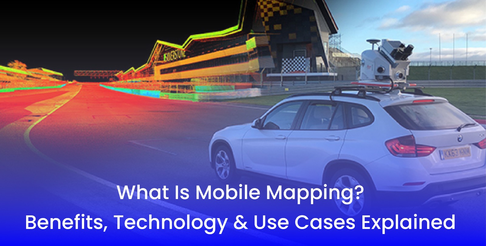
UAV mapping is done with the help of planes, satellites and on-site techniques that require specialized equipment. UAV mapping system have proven to be beneficial for various reasons. Here are its benefits:
Speed: UAV mapping includes drone technology. Drones can be deployed to specific areas at any given time. They are programmed with flight patterns, which help in improving efficiency. Their high speed doesn’t require you to wait for satellite locations to align with your site. You can easily access the location at any time.
Affordable: UAV mapping requires a group of small individuals. It means that they need smaller budgets to deploy in the area. Drones can be deployed by a single person to execute the mission. There is no need to send a group of large people into the field with specialized equipment. This reduces the costs relating to flying drones and purchasing satellite imagery.
Accuracy: The photogrammetry software in the drone helps in showing the accurate results of 2D and 3D maps. This software helps in correcting the camera angle, perspective and distance of the map. Earlier, it used to take days and weeks to achieve accurate results but now it has become a matter of a few hours only.
Flexibility: Drones can be flown at different heights, between buildings, inside active construction sites, under trees and below the cloud covers as well. They are flexible and can be used in the absence of planes and satellites.
Safety: Drones are safer and have fewer risks than flying planes. It can safely be used for field inspections in remote areas without harming the people. It reduces the risk of harming individuals around construction sites from various heights by getting accurate information through their software.
These benefits tell us the significance and how easy life can be if we begin using different UAV mapping systems for industrial, residential or commercial purposes.
3D Pointshot – Leader in Augmented, Virtual Reality
3D Pointshot is a professional surveying firm specializing in 3D laser scanning, 3D modelling, 2D as-built drawing generation, reverse engineering and UAV ariel mapping. Based in India, we provide an exclusive range of services including Augmented Reality, Virtual Reality, Digital Twin, 3D CAD Models, Topography surveys, GIS and many more services.
Explore our website to learn more about our services.


