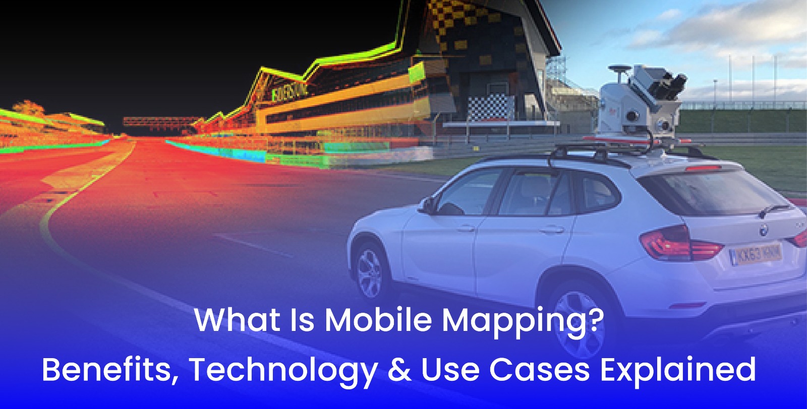
What Is Mobile Mapping Benefits, Technology & Use Cases Explained
- 12 Aug 2025
Accurate geospatial data collection quickly in today's world is more important now than ever before—especially in industries such as urban planning, construction, infrastructure, and land surveying. One technology that is altering the method of collecting geospatial data is mobile mapping.
So, what exactly is mobile mapping, and why is it gaining momentum? Let's break it down.
What Is Mobile Mapping?
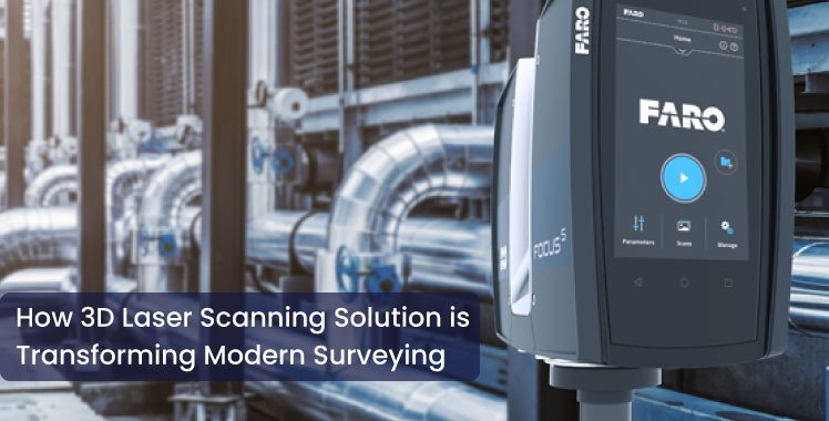
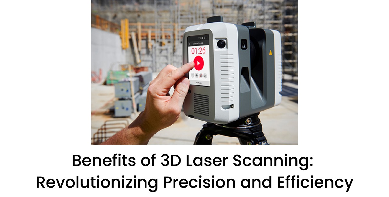
Mobile mapping is the process of obtaining geospatial characteristics from a sensor-equipped vehicle, which may include LiDAR scanners, cameras, GPS, and IMUs (Inertial Measurement Units). As the vehicle navigates an environment, data is collected in real time at a very high level of detail and 3D spatial data.
In some ways, mobile mapping is superior to traditional survey methods because it is able to collect high-volume data—and without causing interruptions/transitions to traffic and/or activity that exists.
What Are The Forces Driving Mobile Mapping?
Mobile mapping combines technologies:
> GPS is used for the global position.
> IMU is used for recording the location and attitude of the vehicle.
> The cameras and LiDAR are capturing images and 3D point clouds of the environment.
> Software is processing this generated information into usable 3D models and maps.
Each of these components working together allows for very productive, highly accurate mobile mapping that achieves centimeter-level accuracy in challenging conditions.
The advantages of using mobile mapping are
1. Speed and Efficiency—Typically, a survey of a location will take days and/or weeks. Plus, surveying is a stationary setting where people must concentrate on surveying points. Mobile mapping works at speed, meaning that scanning can be done in a dynamic state whilst in motion, allowing for the significant reduction of time to capture data.
2. Cost Effective—The speed of 3D scanning means costs are significantly reduced as companies can avoid staff and rentals for fewer hours, and operational time is decreased.
3. Accuracy—With modern 3D mobile mapping solutions, datasets can be very accurate for engineers, planners, and designers.
4. Safety—The safety benefit of mobile mapping must be considered. If the survey is along a highway, railway, or hazardous operation, mobile mapping is much safer from the comfort of a moving vehicle than surveying on foot.
5. Less Disruption—Mobile mapping allows for the surveying of busy urban areas without stopping traffic or avoiding the public.
Mobile Mapping Services in India: An Expanding Demand
The spatial needs of India's evolving urban and infrastructure development are fueling the demand for mobile mapping services in India. Mobile mapping is essential when it comes to smart cities and broader road expansion plans; multitudes of high-quality spatial data are at the planners' disposal to use in an informed fashion over the shortest timeline.
Applications of Mobile Mapping:
1. Urban Planning
Mobile mapping in urban planning aids municipal and state governments and architects in producing models of city designs, plans for new transportation systems, and spotting encroachments.
2. Transportation & Road Asset Management
Using mobile LiDAR mapping providers, municipalities can complete an inventory of road signs, traffic signals, and lane markings together with their geo-coordinates.
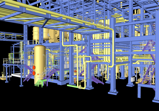
3. Utilities & Infrastructure
Utility companies can also take advantage of mapping both underground cables and pipelines and above-ground assets without excavation and shutting off the road at the same time.
4. Construction & Land Surveying
Before breaking ground, engineers can use mobile mapping to understand topographic features of land that may avert expensive redesigning or reallocating of plans and designs later.
5. Disaster Management
For disaster management, the availability of pre-disaster and post-disaster topographical models when they are created will help to rapidly assess the on-the-ground damage of the hazard(s), plan for recovery, and reduce the likelihood of future disaster effects.
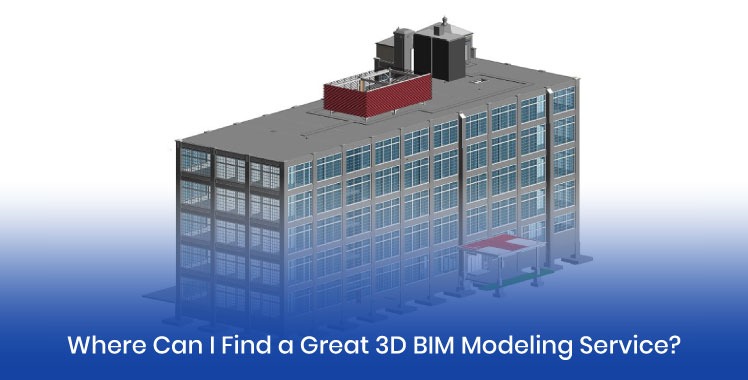
Why Choose 3D Pointshot?
With 3D Pointshot, you will receive innovative 3D mobile mapping solutions for your specific industry. Whether you are a scientist, government agency, contractor, or infrastructure developer, every project can rely on accurate, fast, and trustworthy results. Our team consists of some of the most trusted and recognized mobile LiDAR mapping providers in the country with proven abilities for high-precision results at scale
Frequently Asked Questions
Q1: Is it more accurate?
Yes. High-precision mobile mapping, when done correctly, can match or exceed traditional land surveying accuracy, in particular, for large land areas.
Q2: How long will it take to map a city block?
A city block usually could be mapped in less than an hour, depending on surrounding road complexity and volume of traffic.
Q3: What file types will I receive?
We deliver data in a common industry-standard format compatible with most CAD and GIS and BIM products.
Q4: Can mobile mapping be accomplished in rural areas and in wooded areas?
Yes. Rural areas, as well as wooded areas and even industrial areas, are perfectly suited for mobile mapping solutions, even if they are not the most common.
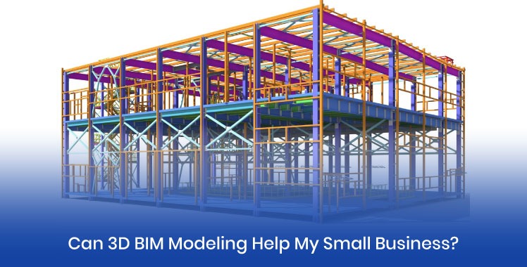
Q5: Is it mainly for small businesses?
No, and yes. Mobile mapping is perfect for small businesses. Many small businesses, such as construction start-ups or private developers, will use mobile mapping to obtain more accurate and precise site data and better prepare "their sites before construction starts—to obtain a competitive advantage.
Conclusion
Mobile mapping isn't just a fad—it's the way forward in acquiring and employing geospatial data. The merits of speed, accuracy, cost-saving, and safety have made it the default solution for many applications in India’s growing infrastructure ecosystem.
If you are involved in urban planning, infrastructure development, or land management, mobile mapping services in India will give you confidence that the foundation of your project is sound.
When you are ready to elevate your mapping process, 3D Pointshot is well positioned to offer you reliable and scalable mobile mapping expertise.