How Aerial LiDAR Mapping Is Transforming Construction Site Surveys
- 30 Sep 2026
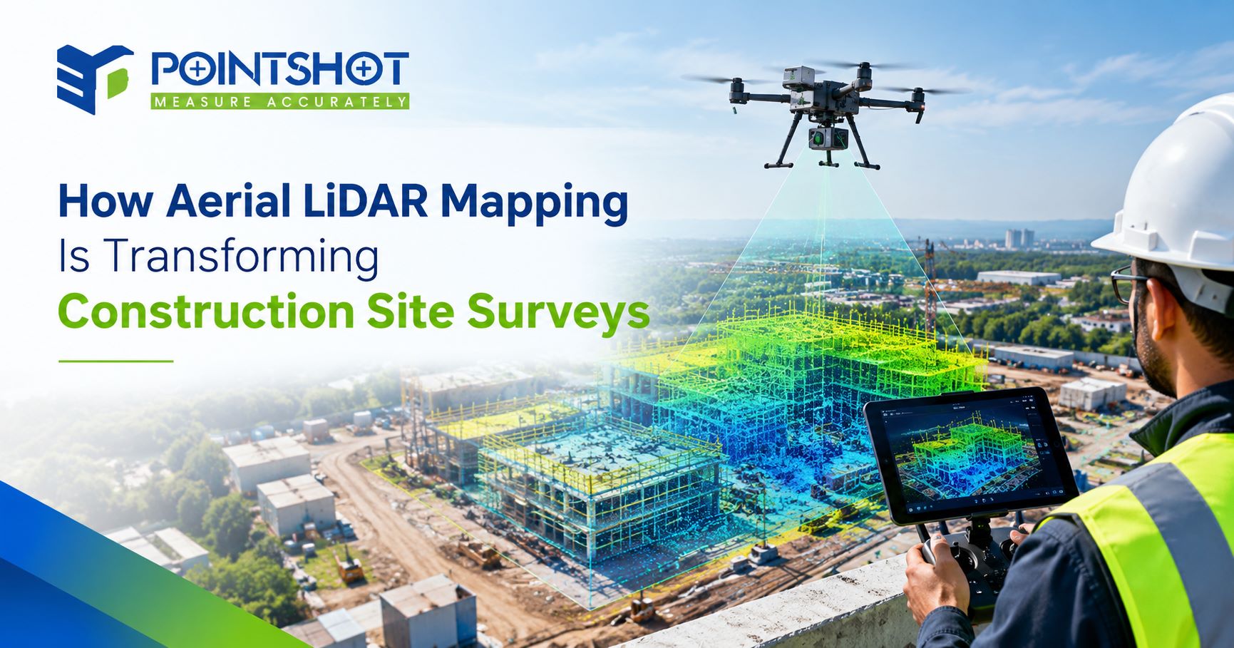
To make a project successful, the information about the condition of the construction site needs to be precise. The traditional method of surveying may take time, particularly for large or difficult sites. However, the use of aerial LiDAR mapping has revolutionized the way construction sites are surveyed. Combining LiDAR with UAV enables fast collection of accurate terrain and elevation information and generation of highly useful 3D datasets.
What Is Aerial LiDAR Mapping?
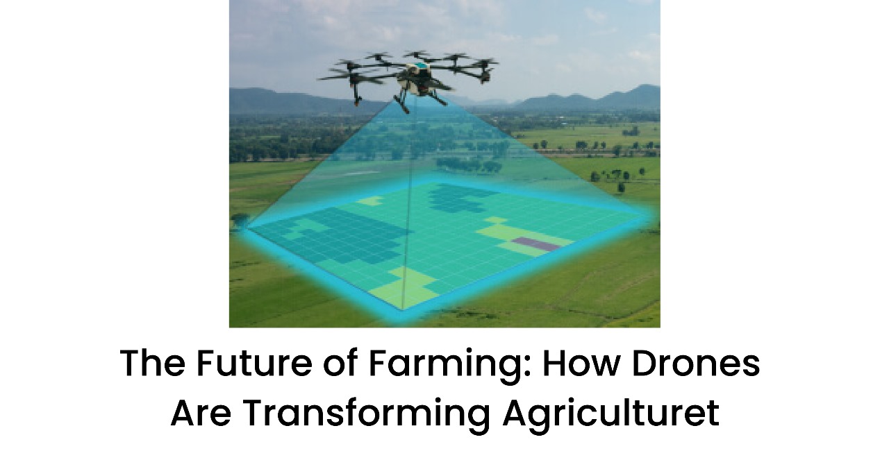
LiDAR mapping in the air uses lasers mounted on a plane or UAV for measuring the distance between the sensor and the surface of the earth, as well as the objects on the surface.
In construction projects, LiDAR assists in gathering data such as ground elevations, slopes, structures, roadways, stockpiles, and other numerous elements in the construction site.
How Aerial LiDAR Mapping Is Transforming Construction Site Surveys
One of the major advantages of LiDAR is its ability to scan large areas in a short period of time. This allows us to gather data without having to measure the area only from the ground.
Among others, the following advantages can be noted:
Faster Data Acquisition
Construction areas can be surveyed quickly with the help of LiDAR systems mounted on UAVs.
More Accurate Topography
LiDAR is capable of capturing elevation changes, slopes, and other terrain elements with good accuracy.
Greater Ease of Access
The technology allows surveying the inaccessible areas remotely.
Efficient Planning
With accurate site information, it becomes easier to understand the existing situation before starting the construction.
Visualization
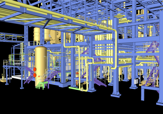
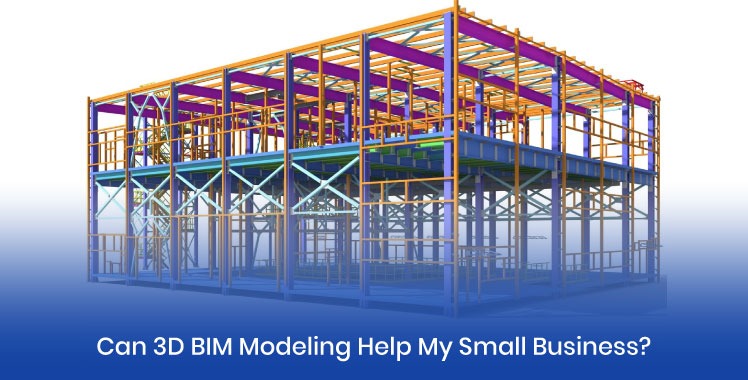
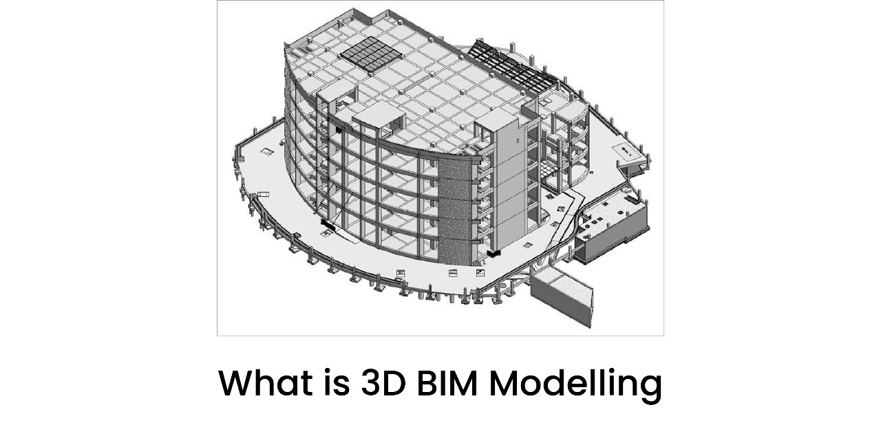
It is possible to generate 3D models of construction areas based on point cloud data.
Applications of Aerial LiDAR Survey in Construction
Aerial LiDAR survey technology may prove helpful in many phases of a construction project. It is suitable for conducting topographic surveys and mapping the sites before the start of a construction project so that it would be easier for the team to understand the existing terrain.
The technology may also prove helpful in earthwork volume estimation, stockpile calculation, construction progress control, infrastructure construction, and as-builts. Periodic surveys will allow comparing existing site situation with the initial design and identifying changes.
In large-scale infrastructure projects, LiDAR survey data may also prove helpful for roads, bridges, industrial constructions, and other complex objects.
Comparison Between Aerial LiDAR Survey and Traditional Surveying Techniques
Traditional survey techniques continue to be relevant in numerous construction applications; however, aerial LiDAR presents an alternative way of gathering information on a large scale at a site. While traditional surveying may entail considerable amount of fieldwork, UAV LiDAR surveys can gather vast territories from above.
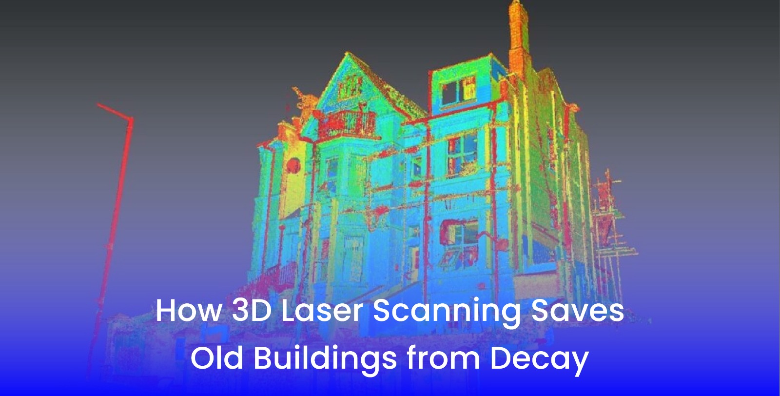
Another benefit lies in the possibility to acquire dense point cloud data sets as opposed to individual measuring points. Aerial LiDAR and traditional survey techniques can be used in combination in order to collect complete information about a site based on the requirements of a specific project.
3D Scanning as Part of Modern Construction Projects
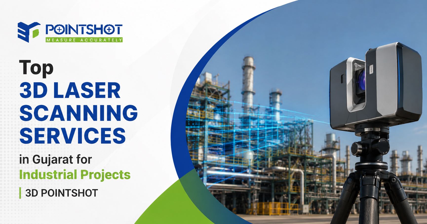
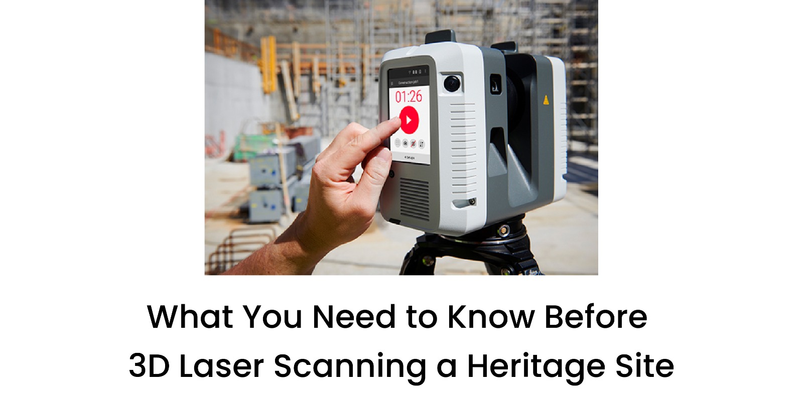
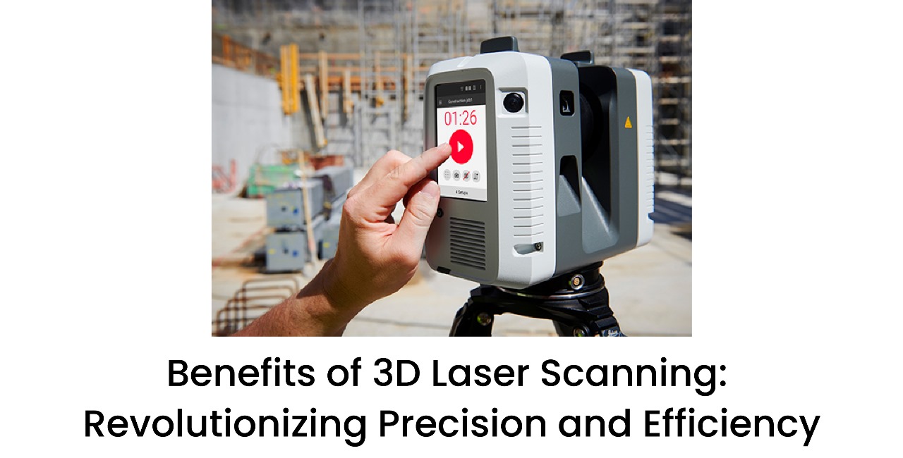
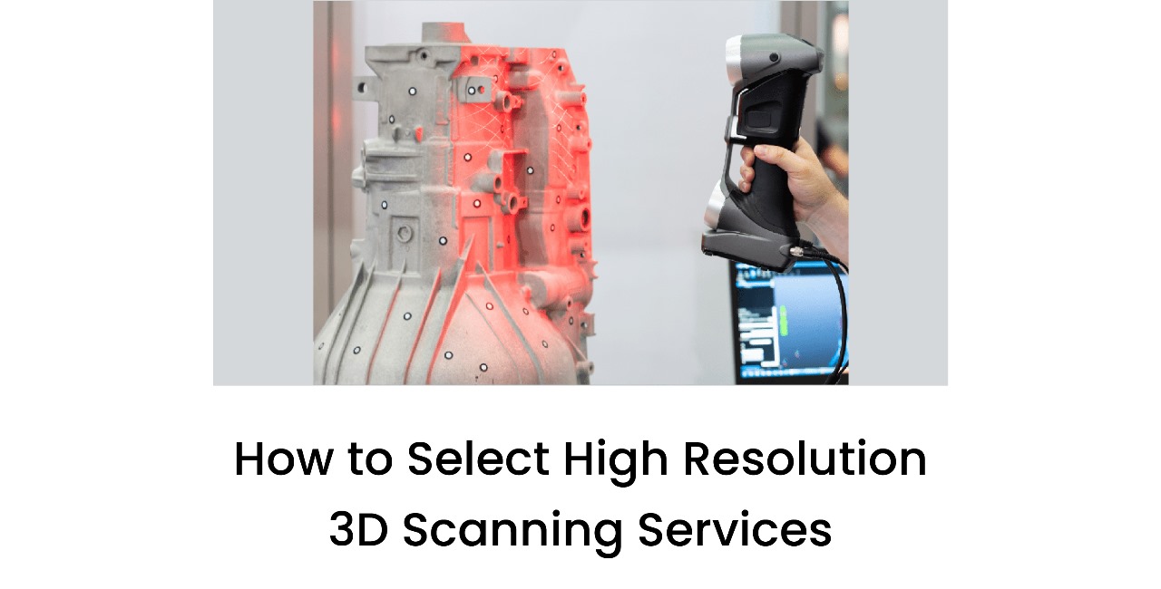
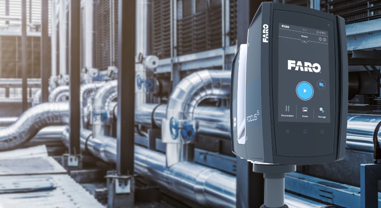
Construction projects today depend on precise digital data. 3D LiDAR surveys in Gujarat and other regions can aid in creating precise digital models of current environment which may be useful in terms of measuring, documenting and planning.
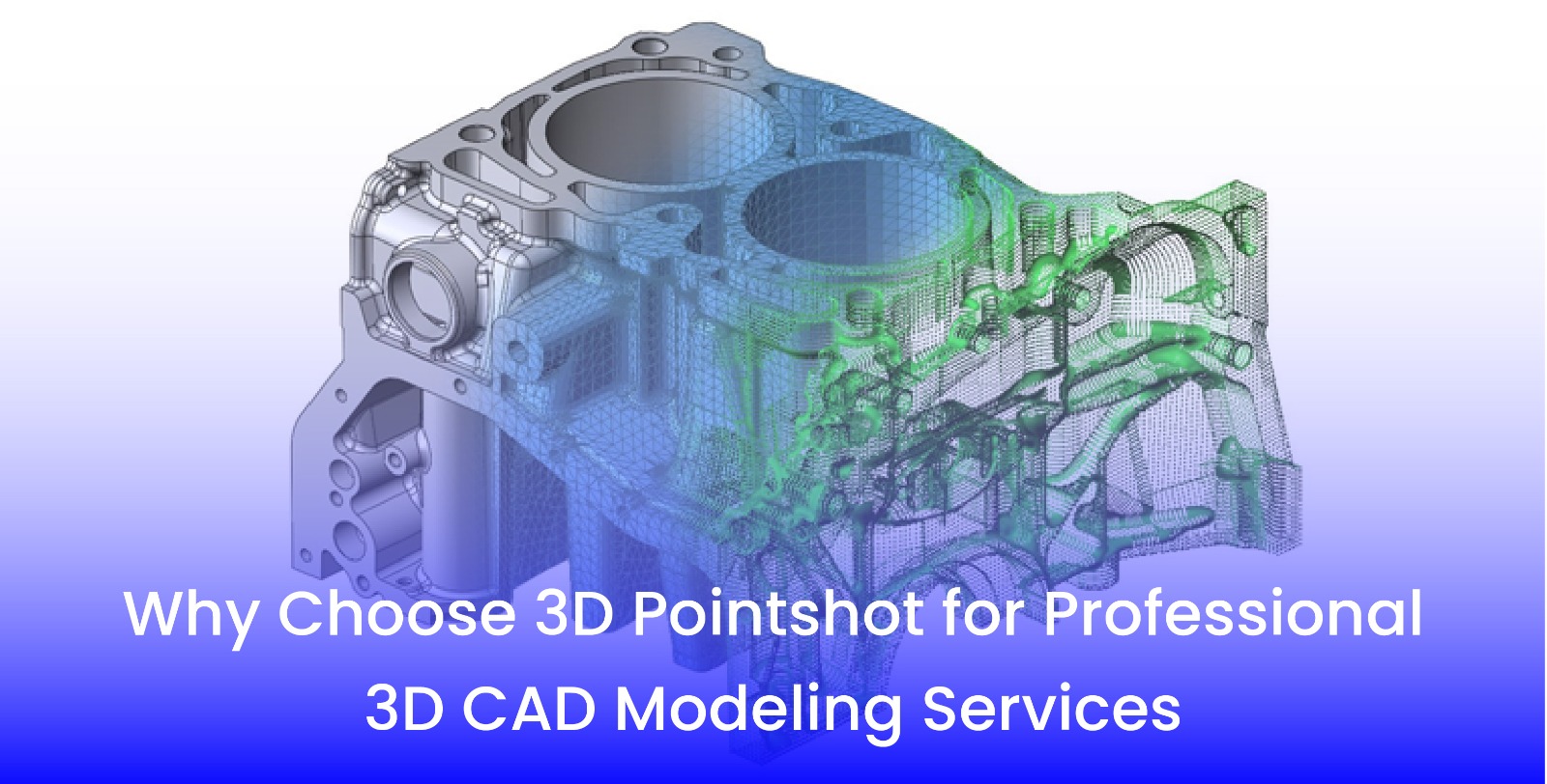
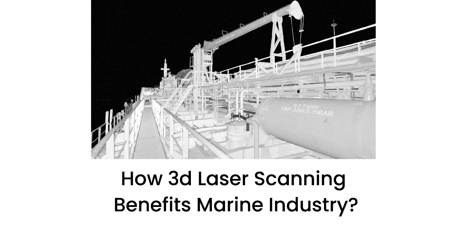
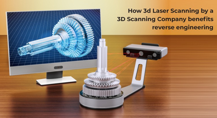
Point cloud data can be processed for 3D modeling, dimensional analysis, as-built documentation, site visualization among other applications when combined with UAV surveys, ground scanning and other mapping techniques.
LiDAR and 3D Scanning Company in India: Choosing the Right Partner
It is crucial to choose the right 3D scanning Company in India to get reliable project information. Businesses need to pay attention to such factors as surveying skills, experience in the field of LiDAR and UAV surveying, data processing abilities, requirements of the projects, required level of accuracy, and the kind of deliverables.
The correct approach needs to be chosen based on such aspects as the size of the territory, topography, details required from the surveying, project timeline, and data usage.
Why 3D Pointshot?
3D Pointshot offers advanced solutions for surveying and mapping which can be used in modern engineering, construction, and infrastructure projects. Having abilities in such spheres as LiDAR scanning, UAV surveying, 3D mapping, point cloud data, and digital modelling, 3D Pointshot assists project teams in collecting information about complicated sites.
Using the modern methods of surveying, 3D Pointshot assists businesses in collecting detailed spatial data.
Conclusion
LiDAR mapping through sair is revolutionizing construction site surveys through its speed, accuracy, and ever-increasing use of digitalization to collect big data. Through LiDAR, construction can benefit from topographic mapping, earthworks estimation, monitoring of construction progress, and other applications.
With the increase in data use in construction, it is important to embrace tools such as LiDAR in UAVs and 3D scanning in order to make construction projects easier.
For accurate aerial LiDAR or 3D scanning services for your construction project, get in touch with 3D Pointshot today.